2-Mar-2025
Today we return to Munich and since we're a bit far away, we take the plane.

Our flight is only in the evening, though, so we have plenty of time for an extended breakfast featuring tasty brunost on knekkebrød.


Outside, it's pouring cats and dogs and the weather is only predicted to get worse over the day, with flood warnings and all. So we hurry for the nearest bus stop, doing our best to stay under cover whenever possible.


Fortunately, the bus stop is not very far away, so we manage to get there relatively dry.


So, we soldier on all the way to the Stjørdal station through the rain, hoping to have more luck there.


At the station, there's a heated waiting room. Inconveniently, however, the only ticket vending machine is out there in the rain, and with the rain beating against the screen, it's incredibly hard to make the right selection. In then end, I have to cancel three times, then runaround the area in search of another machine, then return back to this accursed machine and get ourselves two tickets to Trondheim (although we really just need one stop) because I couldn't figure out how to get tickets to just the airport, especially not with all that rain.


And then, the train arrives. Since we're just aboard for one stop, we don't bother sitting down.


This short ride leads us south past the paths we walked in the evening sun yesterday. And since our flight will only depart after dusk this is the last we'll see of the Norwegian landscape.


We arrive at the Trondheim Lufthavn Stasjon, which as noted before has only one single track on its two-track platform. Fortunately it's got a roof.


There, we amazingly manage the kinda clunky self-check-in, and I even manage to get a luggage tag from a nearby machine.


However, I fail to check it in at the self-service counter, because apparently that one doesn't work for Lufthansa flights for whatever reason. I try to get help from an assistant, and she tries and fails in the same way before telling me I have to wait until 2 hours before departure before I can finally check in my luggage and proceed through security.


And now, I'm sitting here writing this. It is now 13:40, which means it's till over 5 hours till our flight departs, and over 3 hours until I can finally drop off my luggage and proceed through security. Oh well.

Several hours later, the luggage check-in finally opens. The attendee informs me that they're still working on the automated drop-off for Lufthansa.


However, while waiting in-line, I realize with horror that I still have my trusty Swiss knife in my pocket.

At that point, I pretty much kiss it goodbye, but Robert encourages me to try and salvage the situation. It is at that point that things start getting interesting.
First, we unhook the barrier tapes in order to get back to the first security gates. Then, we wave over an airport attendant to let us back out of the security gauntlet again.
Our first plan is to check my backpack as Robert's bag since he's only travelling with carry-on luggage, so we get another luggage tag from the self-serve machine, put it on my backpack, put my pocket knife in there, and then try to check that in. However, that fails because my backpack also contains Liete, which is not allowed.
However, the lady at the luggage drop makes a call and says she can still get my Trecking Backpack of Flames out again so I can put my knife in there. And thus it happens that I get my backpack out the Stjørdal luggage claim.


After that little ordeal, we make it through security without any issues.


We proceed to the international terminal, which looks more like a mall.


Not many flights depart still depart from here today. Fortunately, one of them is ours.


And with that, we are finally at our gate. This marks the first time that I didn't have an issue with my name on a flight thus far!


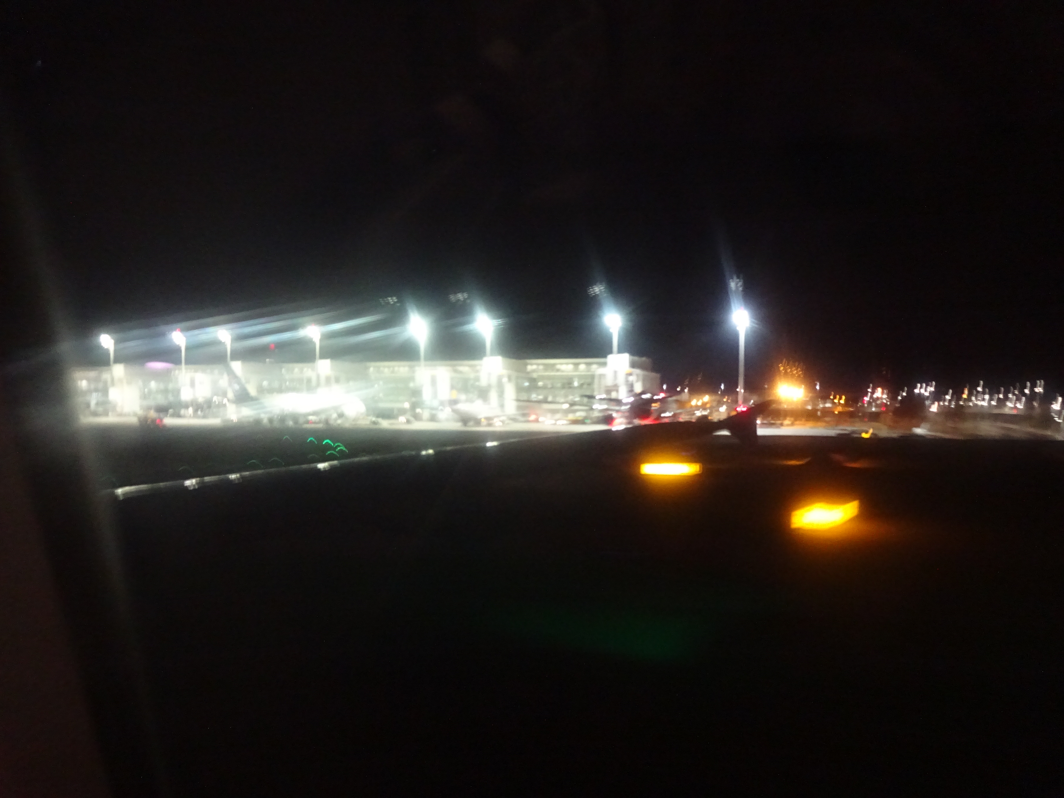
And then it's boarding time. Unfortunately, we need to walk across the runway and board the old-fashioned way, which wouldn't be so bad if not for a combination of three factors:
- The cold
- The rain
- Me having checked in my trusty coat Krevyasz


Inside, our seats are near the back.


This plane is an Airbus 319-100, by the way. It's really old-fashioned, with no screens in the seats, and the cabin crew still manually explaining all the safety features.


Once above the clouds, we can see the crescent moon, and little more. No northern lights up here either, I'm afraid. Oh well.


And here's Malmö and Copenhagen in the distance.

Sometime around that time they also serve a tiny snack in the shape of a chocolate mint.

The moon eventually turns into a blood-red crescent before sinking altogether.

We zoom over Germany, approaching Munich. Here's Ingolstadt already.


And then through the by-now familiar airport of Munich. It's now 22:15, and there's not much going on.


Robert, wanting to catch the earliest possible train home, bids me farewell at the luggage claim. However, I don't have to wait too long for my Trekking Backpack of Flames to show up.


And then the bus back to the Fox Loft.


By the time I finally arrive back home, it's 23:45, and I am very glad that I took tomorrow off. Also, it's still pretty cold - unusually so for March - but I suppose that means I'll have time to get used to the warmer temperatures down here again.


Jamie and Toledo welcome me back home with catty enthusiasm.


I'd very much just like to go to bed now, but unfortunately, my cats have prepared some homework for me. What's harmless is that they raided the wardrobe again. That can wait until tomorrow.


And entirely unacceptable is the puke on the bed, which requires me to make an emergency change of sheets right there and then. It's 0:30 by now, by the way.

The next day, I still find that somehow my cats managed to take down the Japan flag in the map room and tear the top of the Japan map. And while I can accept them displaying hostility towards Russia, I really wish they hadn't ripped off part of Okinawa in their assault too. Come to think of it... maybe that's what causes earthquakes?

Finally, here's my loot-table: All the stuff I brought with me from Scandinavia. Most of it is furry stuff (as in, the right two thirds of the table), but I also got some regular souvenirs. No coins from Sweden though, but I'll be back!

As for what's next... I seriously have no idea at this point. Though in terms of abstract plans, I'd also like to hit the Baltic states and Finnland at some point, and eventually I'll want to visit Japan again. But I have no idea if one of these, or something else is gonna be the next entry. All I can say for now is that no further entries are planned right now.
So, you can drop by whenever I guess and see if something happened. And until then, be of great cheer everyone! =^,^=